
Top Quality
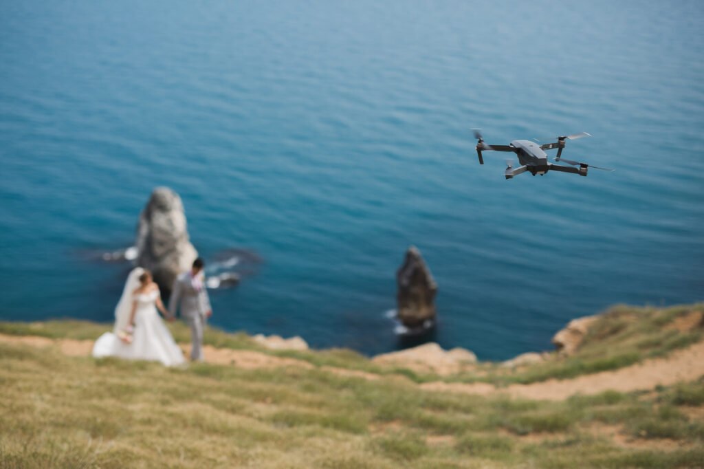
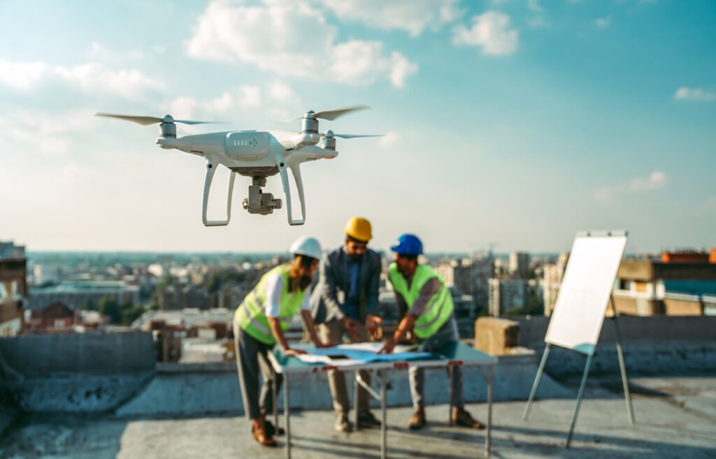
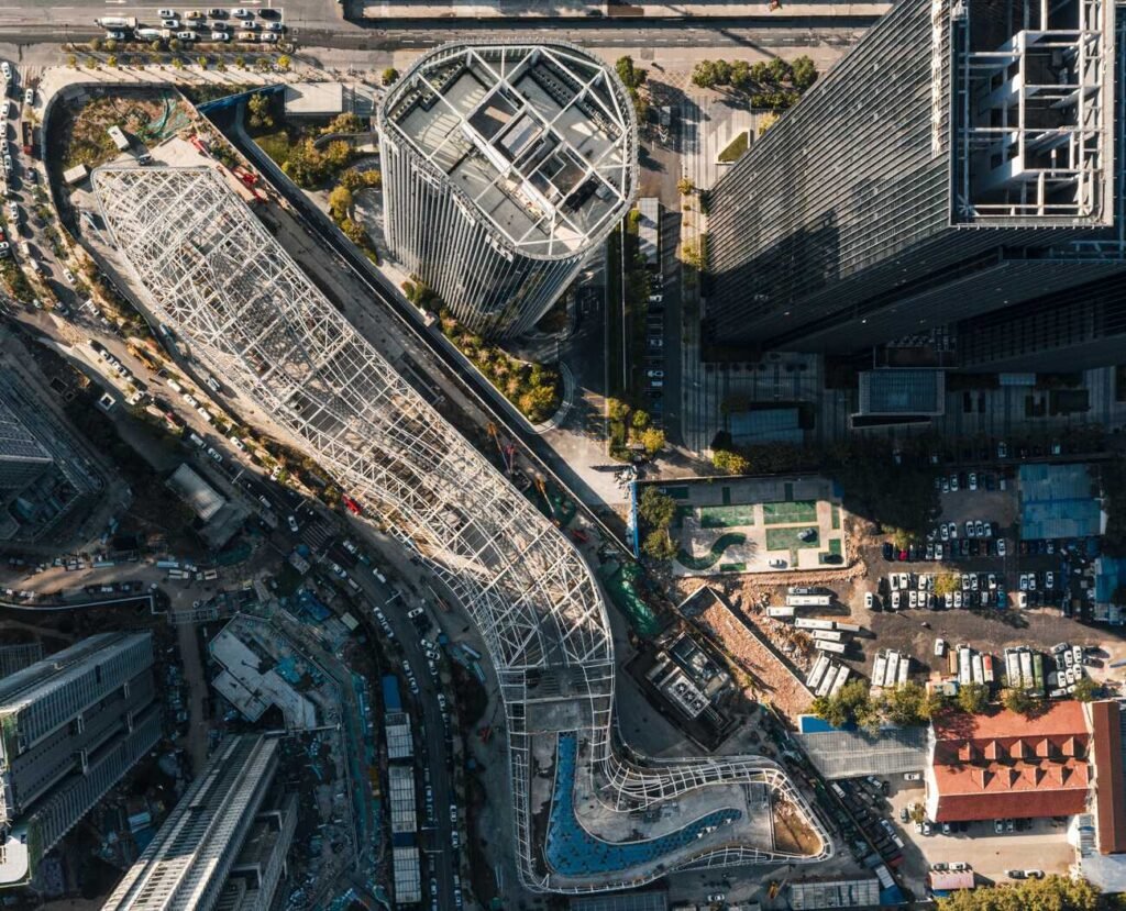
Crownview Aerial delivers unmatched aerial photography and videography with precision and skill

Creative Vision
We turn your ideas into breathtaking aerial shots, offering innovative solutions for all

Professional Service
Our team of certified drone pilots ensures safe, reliable, and stunning results for every project

Reliable Technology
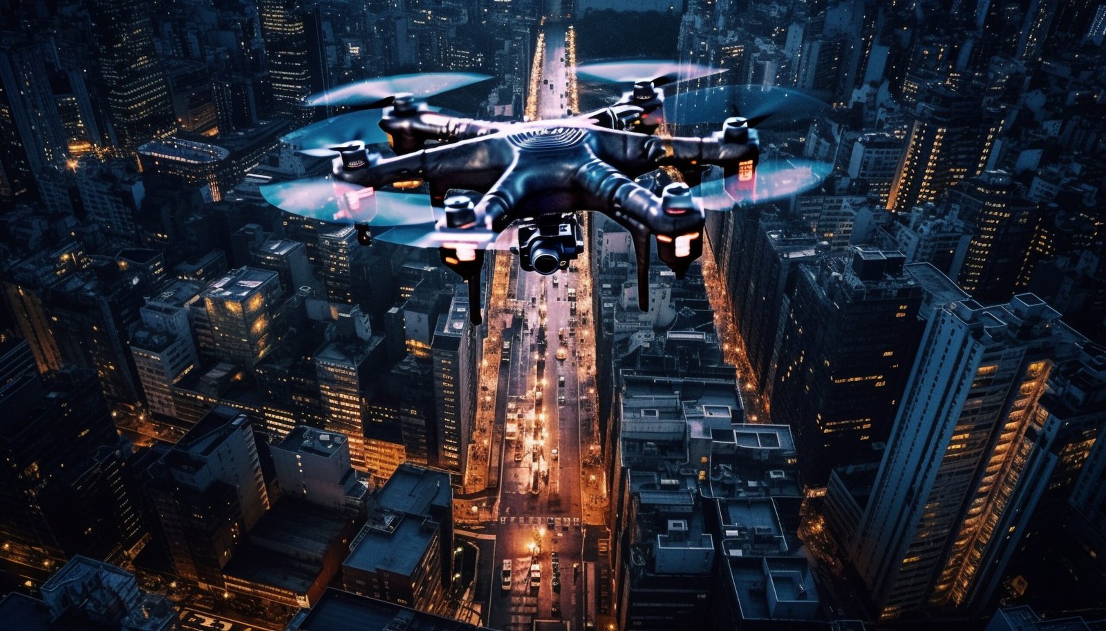
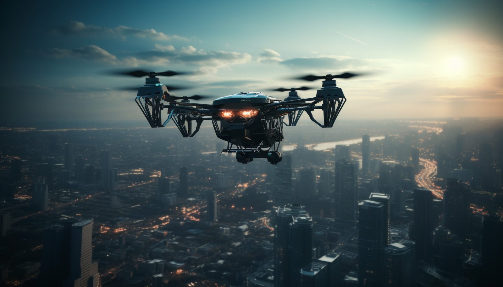
Crownview Aerial uses cutting-edge drones and equipment to provide exceptional and detailed visuals
Book a Consultation
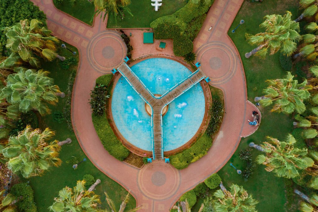
Trending Shots
Pricing
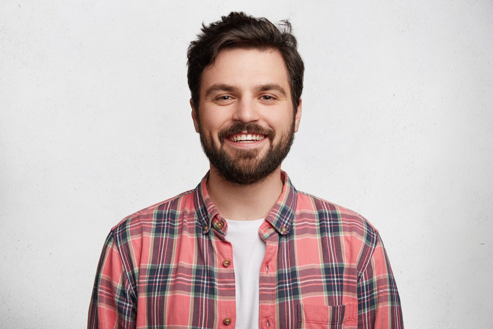
Professional, skilled, and detail-oriented! Crownview Aerial captured breathtaking aerial shots that enhanced the appeal of our real estate listings.

Daniel Foster
Real Estate Agent
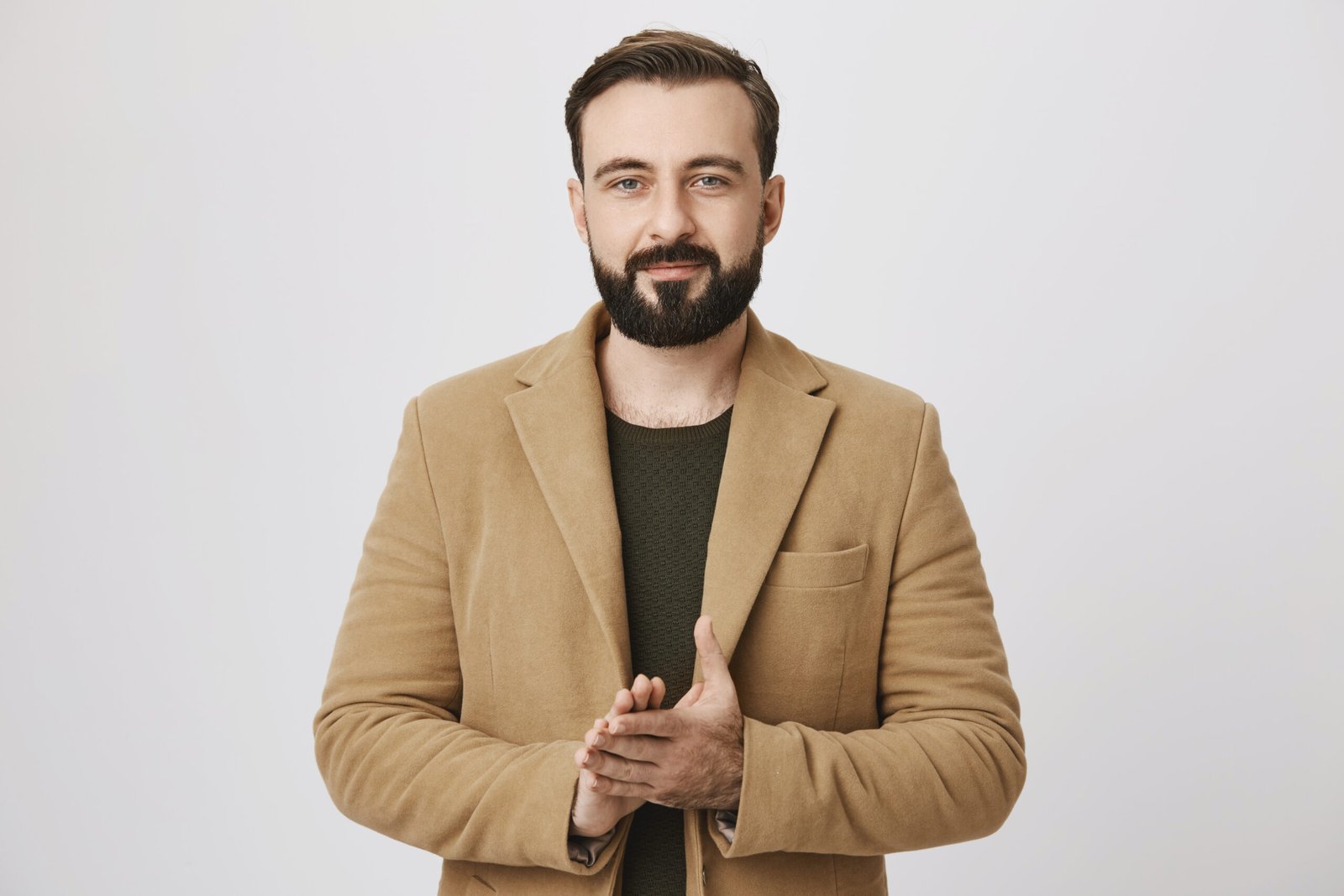
Crownview Aerial shots transformed our project completely! The quality, precision, and cinematic feel truly made our visuals stand out.

James Carter
Creative Director
Their drone service exceeded our expectations! The stunning aerial shots and smooth video footage brought our marketing campaign to life.

Emily Roberts
Marketing Manager
Working with this team was an absolute pleasure. The website turned out exactly how I envisioned—clean, modern, and fully responsive. Their attention to detail and communication was top-notch!
I’m extremely satisfied with the final result. They understood my requirements perfectly and delivered a professional website on time. Highly recommended for anyone looking for quality work.

Fantastic experience from start to finish. The design looks amazing on both desktop and mobile. Their support and quick responses made the whole process smooth and stress-free.
Our services

Follow Our Aerial Journey
Follow Our Aerial Journey
Stay connected with us to explore breathtaking drone photography and high-quality aerial videos.