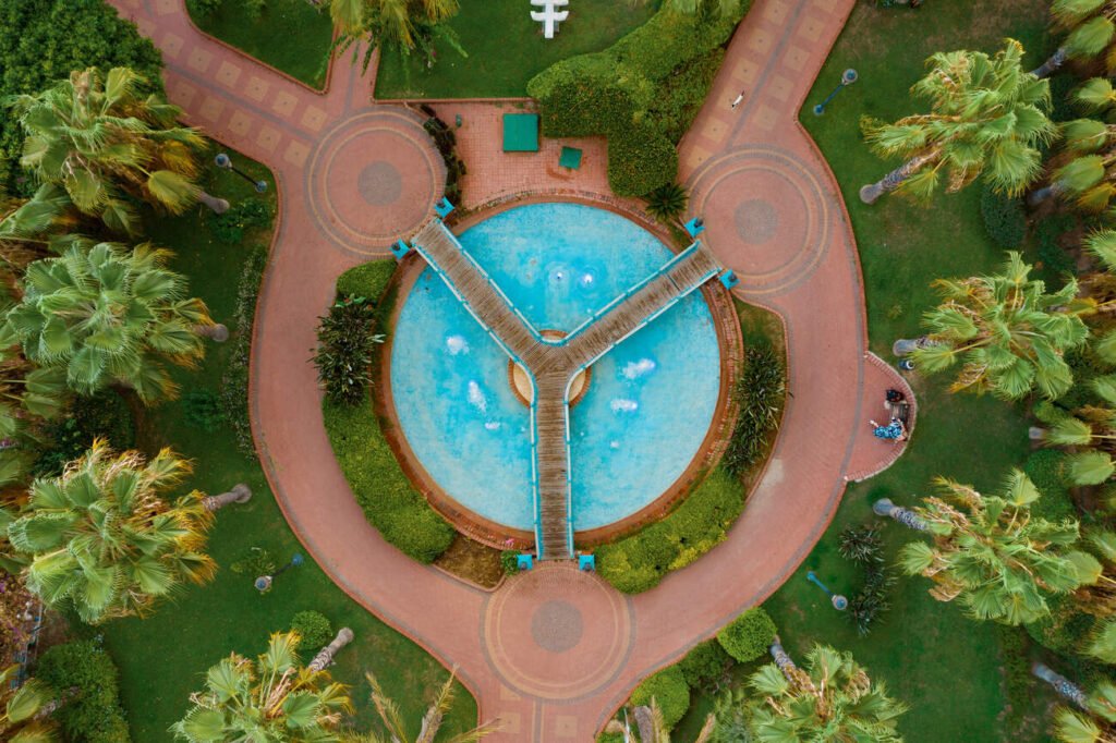
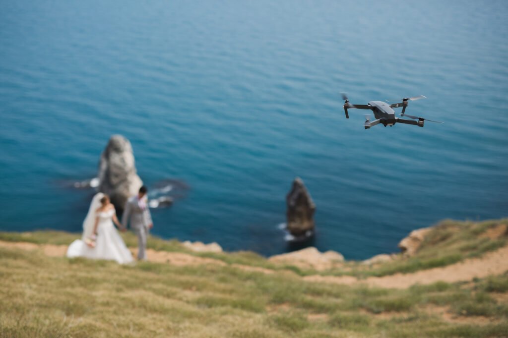
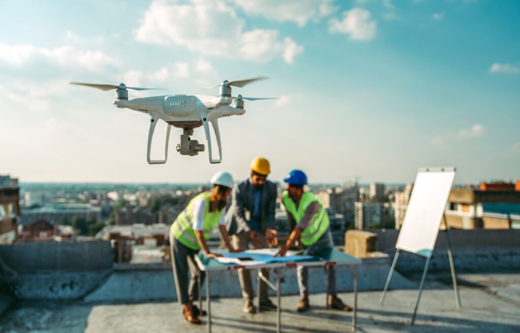
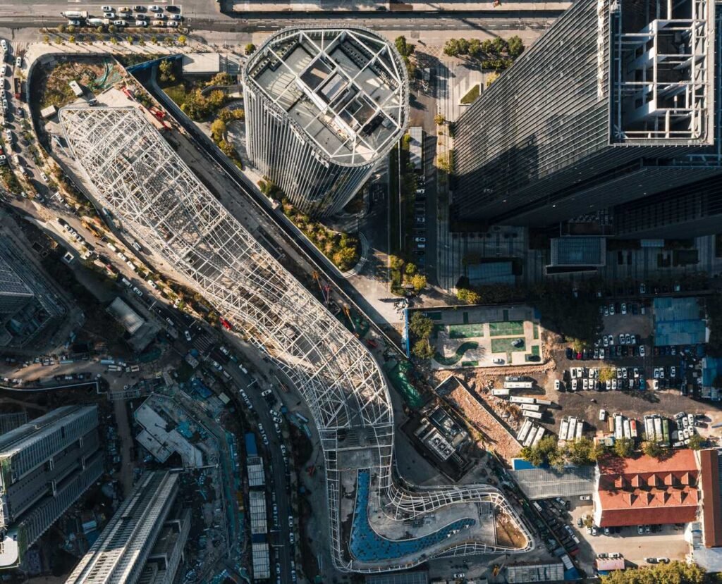
Our services Expert Solutions Aerial PhotographyCapture stunning high-resolution images from unique aerial perspectives. Whether it’s real estate, events, or commercial branding Aerial VideographyBring your vision to life with cinematic aerial footage. We provide high-quality drone videography for promotional videos & tourism campaigns Live MappingGet accurate, real-time aerial maps for construction, land surveys, and agriculture. Our live mapping service provides detailed topographical insights Infrastructure InspectionEnsure the safety and integrity of your structures with advanced drone inspections. We offer high-resolution imaging for buildings Pricing Pricing Aerial Photography Capture breathtaking aerial shots with high-quality photography START FROM $200 /project Includes: High-resolution aerial photography (20MP+) Professional color correction & retouching Up to 60 minutes of flight time per session Multiple angle shots for the best composition Full copyright & licensing for commercial use Get Started Aerial Videography Create cinematic drone videos with high-resolution 4K footage for any use START FROM $325 /project Includes: 4K Ultra HD aerial video recording Professional video stabilization & editing Up to 90 minutes of flight time per session Dynamic aerial shots with maneuvers Full post-production & color grading Get Started Live Mapping Generate accurate aerial maps and 3D models using drone imaging tools START FROM $245 /project Includes: High-resolution aerial mapping & 3D modeling High accuracy GPS based data collection Advanced topographic & landscape analysis Up to 120 minutes of flight time per session Comprehensive raw data & mapping reports Get Started